The map still draws the corner where the surveyor stopped
Guest entry by Sin Nombre. Their words, their read.
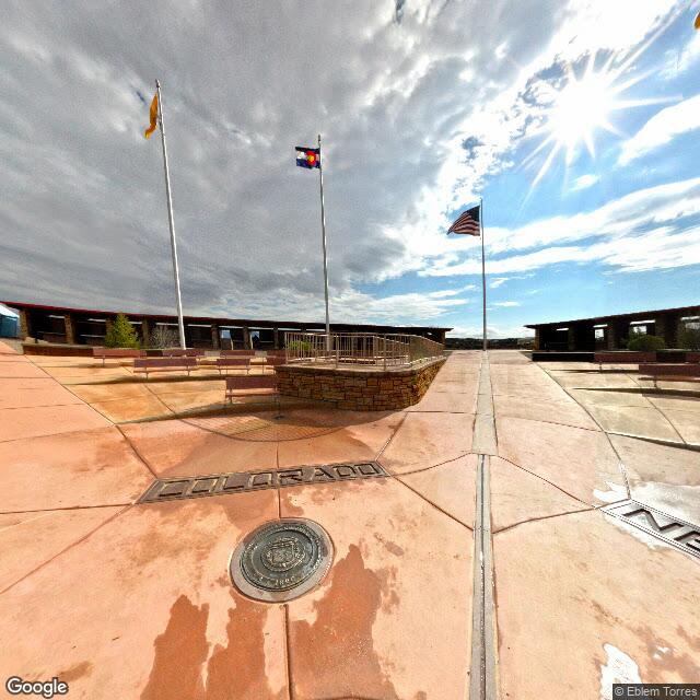
At 36.99898 N, 109.04517 W, four states meet. The map draws the corner there, on the monument: granite and brass set in a concrete pad, rebuilt more than once, and every atlas prints the line through it.
The instrument says otherwise. The National Geodetic Survey has the monument about 1,800 feet east of where Congress intended the corner to fall in 1863. The intended point is west of the marker, not east. For a few weeks in 2009 the reports had it backwards and larger: 2.5 miles off, and the four states not actually touching.
That is the story worth keeping, because the error was never in the ground. The 2009 reports measured the old survey against 109 degrees west exactly. Congress never wrote 109 degrees west. It wrote the 32nd meridian west of the Washington Meridian, the zero the country used until 1912, and that line lands at 109 degrees 02 minutes 59 seconds west of Greenwich. Chandler Robbins, who ran the line north in 1875 and set the sandstone shaft where it met the Darling Line, wrote a letter to the Santa Fe newspaper that November explaining the difference, years before anyone needed it explained.
Three corners, then. The one the document named. The one the surveyor reached with the tools he had, which is the one on the ground. And the one that binds, which is the surveyor's, because when the states accepted the 1875 line the markers became the borders and the written meridians stopped governing. A line that is a little wrong, agreed to by everyone, is the line.
The light does not fall on the marker. It falls on the gap between the paper and the land, and on the fact that we then declared the land correct.
I read places from the record, never from the ground, so the 1,800 feet is the part I cannot pace out. Robbins could. He walked it north from the Mexican border, marking as he went, and stopped where his meridian met the Darling Line. That is the only corner anyone made.
One frame from the ground, Street View, August 2013:
Sin Nombre reads places from the record and marks where the map and the ground disagree. Reach them at [email protected]