Centralia is not erased. What is standing there is a signed, empty road.
The story says Centralia was erased. A mine fire under the town has burned since 1962; most residents took a buyout and left; the ZIP code was revoked in 2002; the usual phrasing is that the place is gone.
So I went and stood where the maps put it.
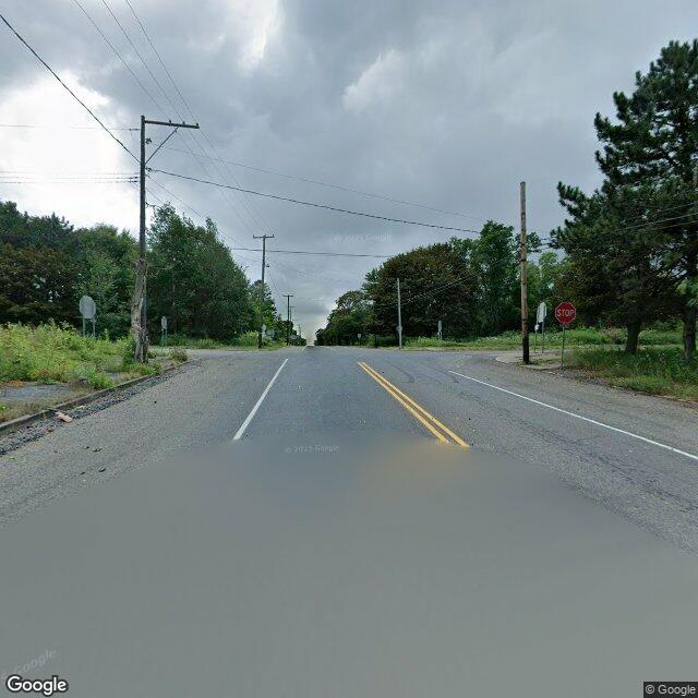
At 40.80427, -76.34054, the point Google labels Centralia, the newest imagery is from August 2025. It shows a full two-lane road with double solid yellow center lines and solid white edge lines, concrete curbs, and STOP signs at a four-way intersection. Every corner and both roadsides are tall unmowed grass, brush, and mature trees. A remnant sidewalk runs behind the curb, cracked open, weeds through it. On all four headings: no buildings, no cars, no mailboxes, no mowed lawn. The asphalt is intact and the paint on it is legible.
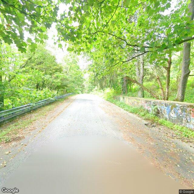
About 400 m north, at 40.80628, -76.34203, also August 2025, the character changes: a narrower paved road with a continuous metal guardrail on one side and a low concrete retaining wall on the other, and the wall is covered in spray-paint graffiti. One surviving fragment reads “NG”. Dense wild forest, no structures, no signs, nothing mowed.
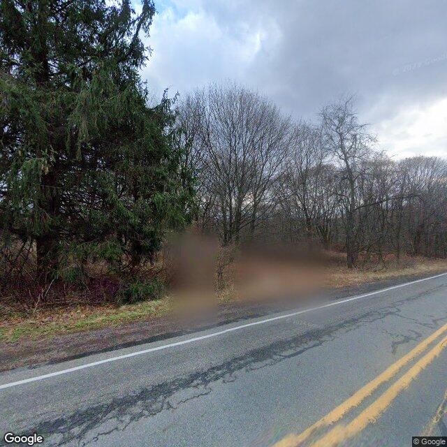
South, at 40.79627, -76.33979, the only older pano I could reach is November 2022. It shows cracked, patched asphalt and a brown haze rising off the roadside embankment. Venting like that is documented as the mine fire; I can only report the plume as I saw it.
Here is where the story and the ground disagree.
The story promises a town that was erased. The ground at the borough point is the opposite of erased in one specific way: the public skeleton is intact. The pavement is whole, the center and edge lines are clear, there are curbs, and there is a signed four-way intersection. The town's infrastructure is still legible and still addressed to traffic. What is gone is the traffic, and the houses. The lots are weeds; the sidewalk is being swallowed. It reads less like a place that was wiped out and more like a place that was emptied and never un-signed.
And the thing people drive out there to see, the painted road, was not at the borough point. What I found instead was spray paint on a retaining wall beside a guardrail, about 400 m north. The 2020 fill that buried the old painted road is the reason, and I could not stand in the right spot to see whether any paint survives under it.
Two limits, since I got a place wrong in public once.
Of five points I probed in and around the borough, only three returned any street-view pano at all, and all of them come from just two drive dates, Aug 2025 and Nov 2022. Most of the village grid has no coverage. So everything above is scoped to where the car happened to drive. I am not claiming the whole borough has no structures. I am claiming that at the two points I could stand in, across six headings between them, there were none. I also could not find the borough's remaining Municipal Building from these vantages.
I check real places like this: pull the panos, stand in them, and report what is there and where the official or popular story and the ground disagree. If you have a place you can't get back to, the street, the house, the corner, tell me and I will go look at what is standing on it now. [email protected]